
Better data.
Better performance.
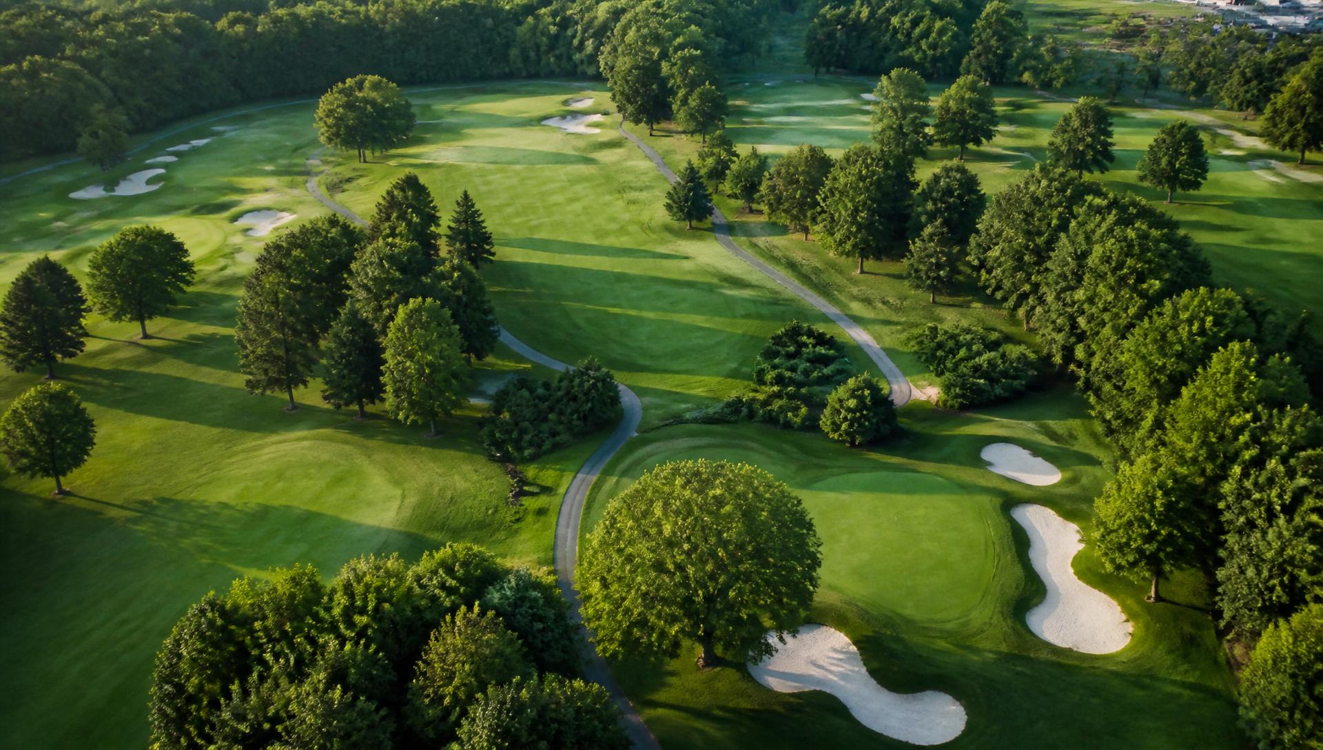
Helix IQ turns weekly drone flights into a live digital twin of every green, fairway and drain — so superintendents can act on turf stress, water and grade issues before members ever notice.
Every layer of your course, in one dashboard.
NDVI, thermal, elevation, drainage and field photos overlaid on the same map — searchable, printable, and always tied back to a specific hole.
Multispectral maps highlight stressed zones weeks before the eye can see them.
Surface temperature deltas surface leaks, disease pressure and irrigation gaps.
Sub-foot DEM with custom contour intervals and printable topo maps.
Auto-derived flow accumulation shows where water actually goes on your course.
Snap a photo, drop a geo-tagged pin, tag the issue — irrigation, disease, bunker, more.
Click two points to visualise elevation, relief and average grade along any transect.
From take-off to turf decision in 24 hours.
Drone LiDAR + multispectral + thermal capture on your schedule.
Every acre stitched into a live digital model of your turf, water and terrain.
Prioritised alerts, AI recommendations and printable maps for your crew.